The Intergovernmental Panel on Climate Change (IPCC) provides guidance on reporting areal extent and change of land cover and land use, requiring the use of estimators that neither over or underestimate dynamics to the degree possible, and that have known uncertainties. The maps provided by GLAD do not have these properties. However, the maps can be leveraged to facilitate appropriate probability-based statistical methods in deriving statistically valid areas of forest extent and change. Specifically, the maps may be used as a stratifier in targeting forest extent and/or change by a probability sample. The team at GLAD has demonstrated such approaches using the GLAD forest loss data in sample-based area estimation (Tyukavina et al., ERL, 2018, Turubanova et al., ERL, 2019, and Potapov et al., RSE, 2019, among others).
 This work is licensed under a Creative Commons Attribution 4.0 International License. You are free to copy and redistribute the material in any medium or format, and to transform and build upon the material for any purpose, even commercially. You must give appropriate credit, provide a link to the license, and indicate if changes were made.
Use the following credit when these data are cited:
Potapov, P., Hansen, M.C., Pickens, A., Hernandez-Serna, A., Tyukavina, A., Turubanova, S., Zalles, V., Li, X., Khan, A., Stolle, F. and Harris, N., 2022. The global 2000-2020 land cover and land use change dataset derived from the Landsat archive: first results. Front. Remote Sens. 3: 856903. doi: 10.3389/frsen. https://doi.org/10.3389/frsen.2022.856903Data available on-line from:
https://glad.earthengine.app/view/glcluc-2000-2020.
This global dataset is divided into 10x10 degree tiles, consisting of two files per tile. All files contain unsigned 8-bit values and have a spatial resolution of 0.00025° per pixel (~30 meters at the equator). For more information please refer to the above publication and to the data page https://glad.umd.edu/dataset/GLCLUC2020. The same legend is used for all layers. Version 2 is updated to have the additional years of 2005, 2010, and 2015 and with updates to the built-up layers.
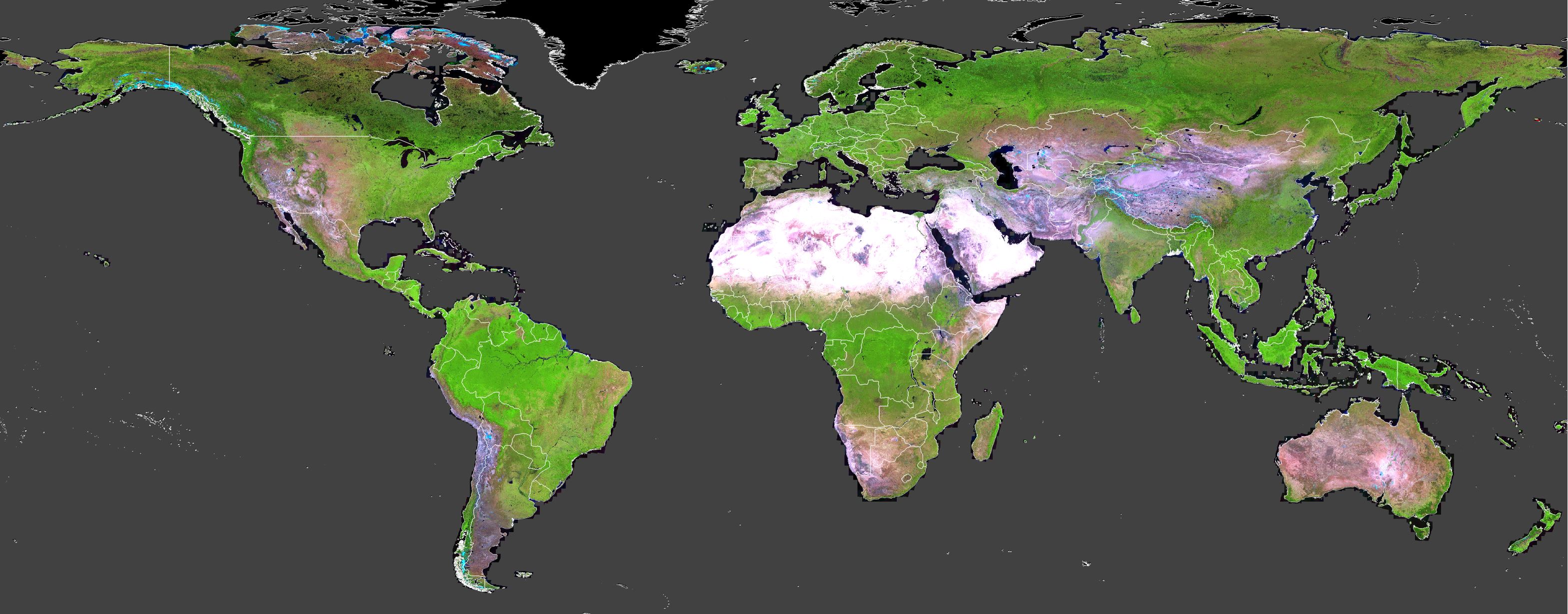
2000, 2005, 2010, 2015, 2020)2000-2020change)To download individual 10x10 degree granules, click on a region on the map below and then click on the URLs underneath it.
Should you wish to download a complete layer, you may download a text file containing the complete list of URLs for each layer:
2000,
2005,
2010,
2015,
2020.
2000-2020change.
You can also analyze these results directly in Google Earth Engine. See example visualization. If you are not yet an Earth Engine user, you may sign up here.