-
Object oriented system design (C++)
-
Modular structure allows framework independent function development
-
SAGA API with immense support for geodata handling
-
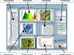
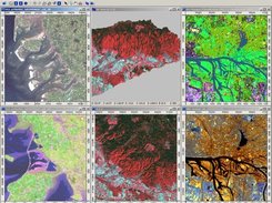
GUI for intuitive data management, analysis and visualization
-
Runs on Linux as well as on Windows operating systems
-
Portable software running without installation even from memory sticks (MSW)
-
Free and Open Source Software (FOSS)
-
Scripting via command line, Python, Java, R
-
Far more than 450 freely available functions for geodata analysis
-
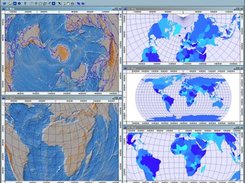
Georeferencing and cartographic projections
-
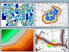
Grid interpolation of scattered point data, triangulation, IDW, splines, ...
-
Vector tools: clipping, buffer zones, raster to vector conversion, ...
-
Image analysis: filters, supervised classification, PCA, FFT, OBIA, ...
-
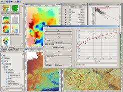
Geostatistics: GWR, variograms, ordinary & universal Kriging, ...
-
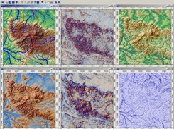
Terrain analysis: morphometry, hydrology, illumination, classification, ...
-
and many more ...