|
Maps of the Scioto Watershed
|
Historical Topographic Maps
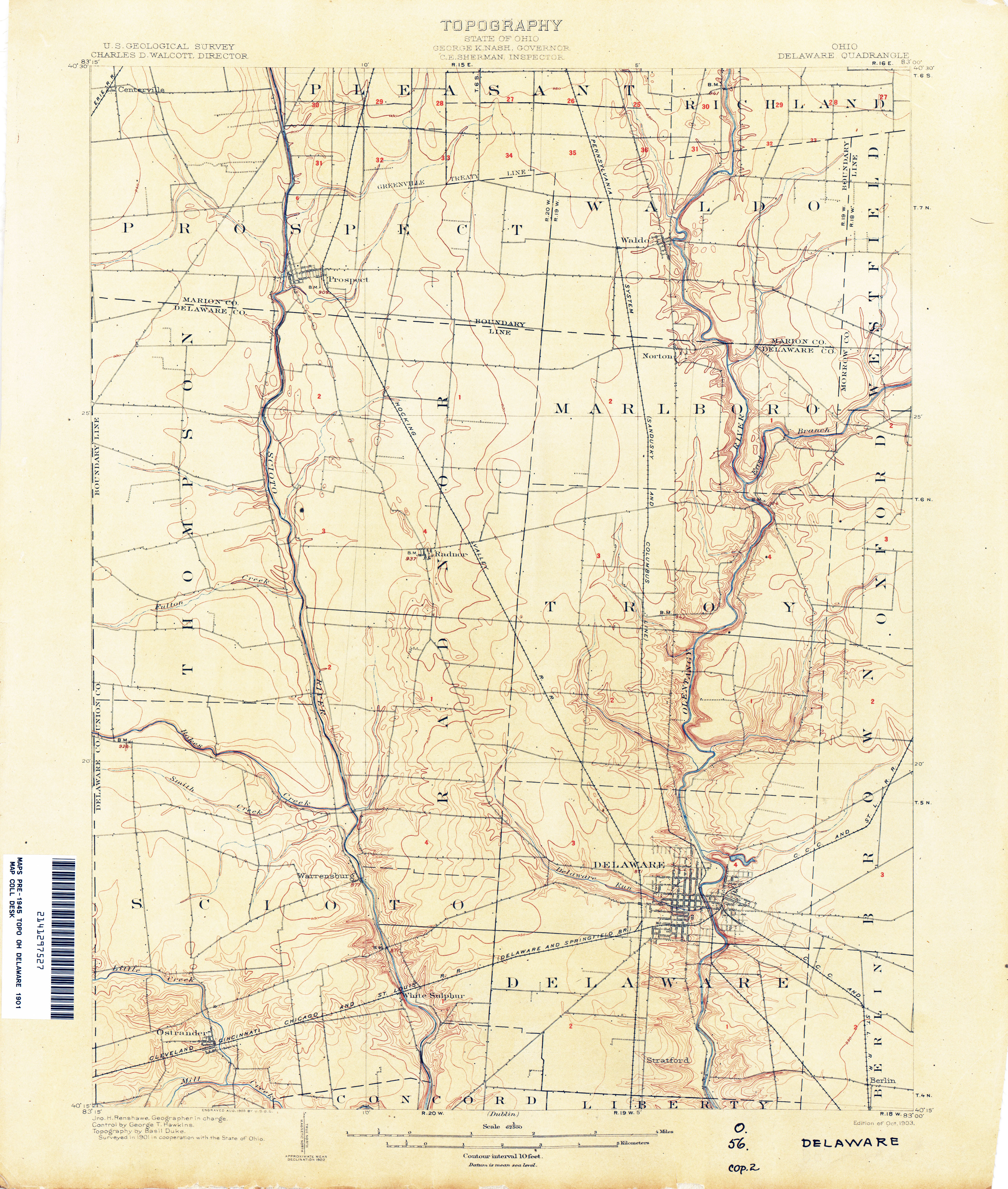
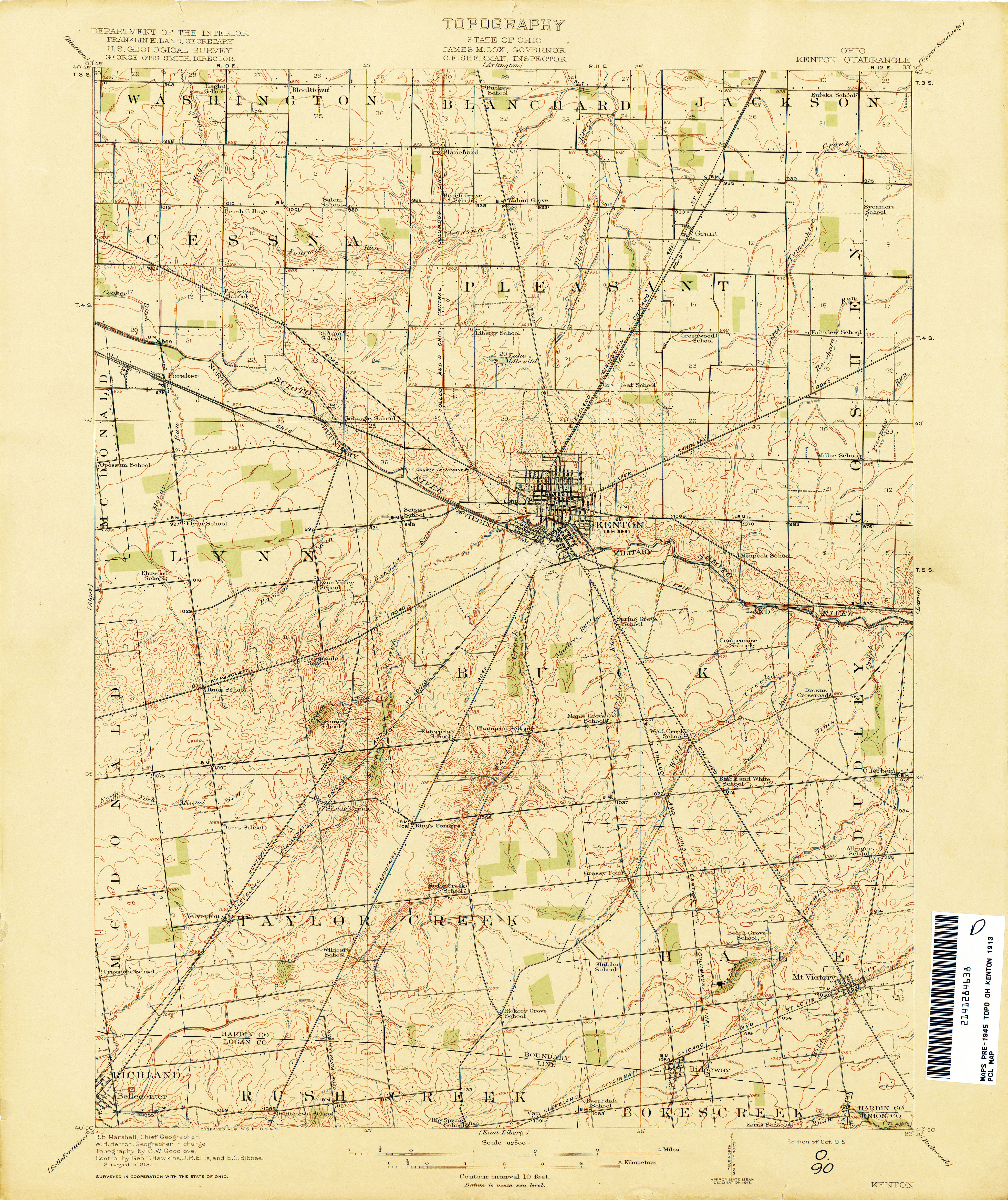
These show the Scioto watershed before the construction of freeways and reservoirs. Note the names of towns and railroads, many of which have changed or no longer exist.
Brown lines mark land contours. Black squares or shapes mark houses and other structures. Blue lines mark streams.
|